My trip to Stroke City/Derry/Londonderry also included a walk along its ramparts. in the late-17th, early-18th century the fortification surrounding the city was rebuilt after a lengthy battle won by King William of Orange was won. As you can see by the picture above, the city has drastically changed with contemporary development and the fortification is surrounded by buildings. In a few areas there has been green space that was preserved due to a steep elevation change which accentuates the walls. However, this area faces "the bogside" as mentioned in
my previous post which as you can see below has been used as a wall for graffiti protesting or supporting movements in the conflict that still exist today.
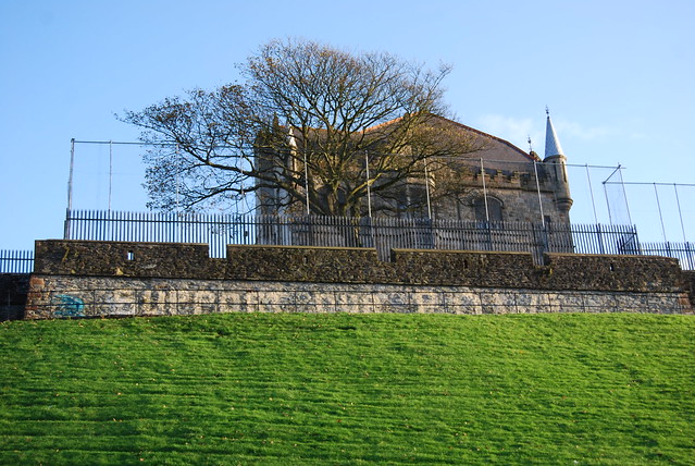 |
| Notice the vertical extension of the walls with a protective fence. Apparently paint and projectiles can be targeted to this side of the walls during protests. |
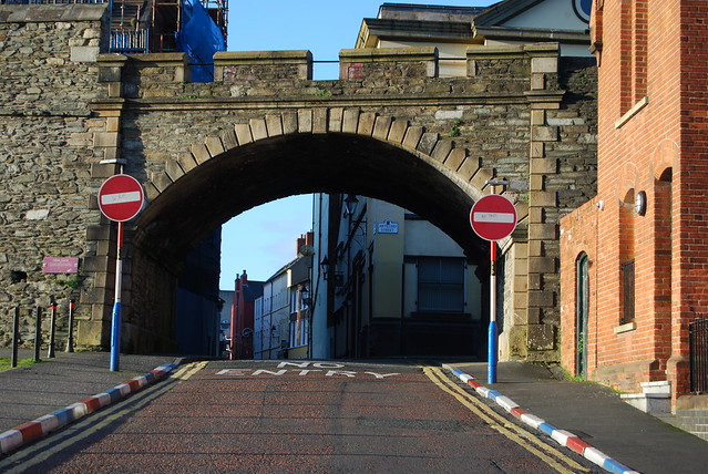 |
| Gate to the city |
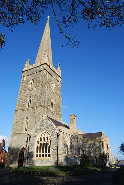 |
| St. Columb's Church within the walls. |
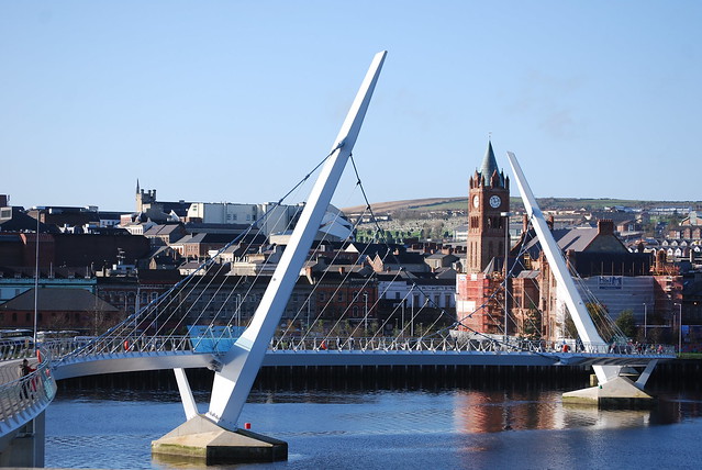
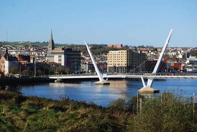
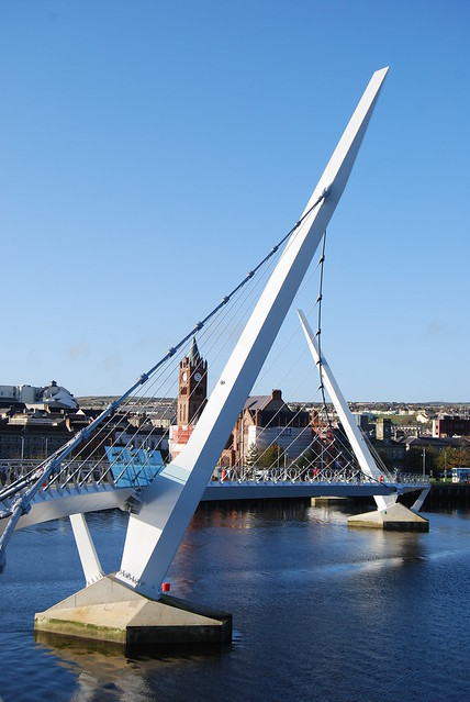
One of the other most notable features of Derry is its newest addition,
the Peace Bridge. Funded by the European Peace Fund, this curving bridge across the River Foyle connects the east of fortified Londonderry with the east bank of the river near the old military barracks. Over the past decades the population of Londonderry has polarized itself across the river with Protestants primarily congregating in the east and Catholics in the Bogside and the west. This pedestrian only bridge is an attempt to welcome movement across the river.

No comments:
Post a Comment